LIST
FEGURÐ OG VELLÍÐAN
HANDVERK
MENNING OG SAGA
SKEMMTUN
UMHVERFI
MATUR OG DRYKKUR
ÖFUGVERKFRÆÐI
VÍSINDI
ÍÞRÓTTIR
TÆKNI
KLÆÐANLEG TÆKNI
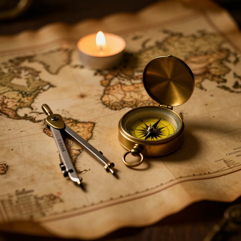


The Mercator Map — Peel an Orange and See Why Flat Maps Lie
A hands-on maths project: draw the continents on an orange, then peel it and try to flatten the peel -- discovering you cannot flatten a sphere without stretching it. That is the mapmaker's dilemma Mercator solved in 1569. A Python cell measures the famous Greenland-versus-Africa distortion, and a compendium reaches to Google Maps.
Byrjandi
30 minutes
Leiðbeiningar
1
1
You cannot flatten a ball
You cannot flatten a ball
The Earth is round but maps are flat, and there is no way to flatten a sphere without stretching or tearing it. Every flat map is a compromise. In 1569 Gerardus Mercator chose a clever one. You will feel the problem with an orange.
2
2
Map an orange
Map an orange
Draw a simple world on an orange with a marker: a squiggle for the equator, blobs for a few continents, dots for the poles. Try to keep the sizes fair.
Efni fyrir þetta skref:
 Appelsína1 stykki
 Kartonpappír1 stykki
Nauðsynleg verkfæri:
 Blýantasett úr grafíti
3
3
Peel it and flatten it
Peel it and flatten it
Now peel the orange and try to press the peel flat on the card. It will not lie flat without cracking and tearing -- and to make the pieces meet you have to STRETCH them, especially near the poles. That stretching is exactly what a Mercator map does: to keep compass directions straight for sailors, it stretches everything more and more toward the poles.
Nauðsynleg verkfæri:
 Skæri
Skæri4
4
Measure the distortion
Measure the distortion
Hleð Jupyter-vinnubók…
Nauðsynleg verkfæri:
 Borðtölva
 Reiknivél
5
5
Compendium: the map that shapes our world-view
Compendium: the map that shapes our world-view
What the orange teaches. (1) No flat map can keep shapes, areas AND directions all true at once -- pick two and you lose the third. (2) Mercator kept compass bearings straight (a constant heading is a straight line on his map), which made ocean navigation simple, at the cost of hugely inflating areas near the poles. (3) So Africa and South America look far smaller than they are, and northern countries far larger -- a real distortion of how we picture the world. (4) A version of it, Web Mercator, is what Google Maps and almost every online map still use today, because straight-line bearings are convenient and the maths is simple.
Tengd Blueprint
Þessi blueprint deila þekkingu — tækni, efni eða meginreglur
CC0 opinbert ríki
Þessi teikning er gefin út undir CC0. Þér er frjálst að afrita, breyta, dreifa og nota þetta verk í hvaða tilgangi sem er, án þess að biðja um leyfi.
Studdu smiðinn með því að kaupa vörur í gegnum teikningu hans þar sem hann fær þóknun smiða sem seljendur ákvarða, eða búðu til nýja endurskoðun á þessari teikningu og tengdu hana sem tengingu í þinni eigin teikningu til að deila tekjum.