アート
美容とウェルネス
工芸
文化と歴史
エンターテインメント
環境
食品と飲料
リバースエンジニアリング
科学
スポーツ
テクノロジー
ウェアラブル
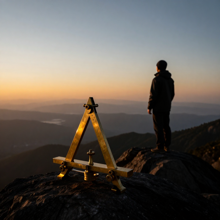
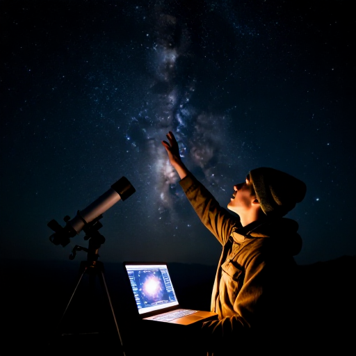

Measuring the Earth from a Single Mountain — Al-Biruni's Horizon-Dip Method
Eratosthenes measured the Earth using two cities a known distance apart. Around 1020 AD the Persian scholar Al-Biruni did it from one mountain. He knew that from a height the horizon dips slightly below true level, and that the line of sight to the horizon just grazes the curved Earth. Measure the mountain's height and that tiny dip angle, and trigonometry gives the Earth's radius — no long survey across deserts required. His answer came within about one percent of the modern value. This blueprint reproduces his elegant single-site method.
上級者
30 minutes
手順
1
1
Understand the idea
Understand the idea
When you stand on high ground, the horizon sinks a little below true horizontal — the 'dip'. Your line of sight to the horizon is tangent to the curved Earth. The height you have climbed and the size of that dip together reveal how sharply the Earth curves, and so its radius.
2
2
Measure the mountain's height
Measure the mountain's height
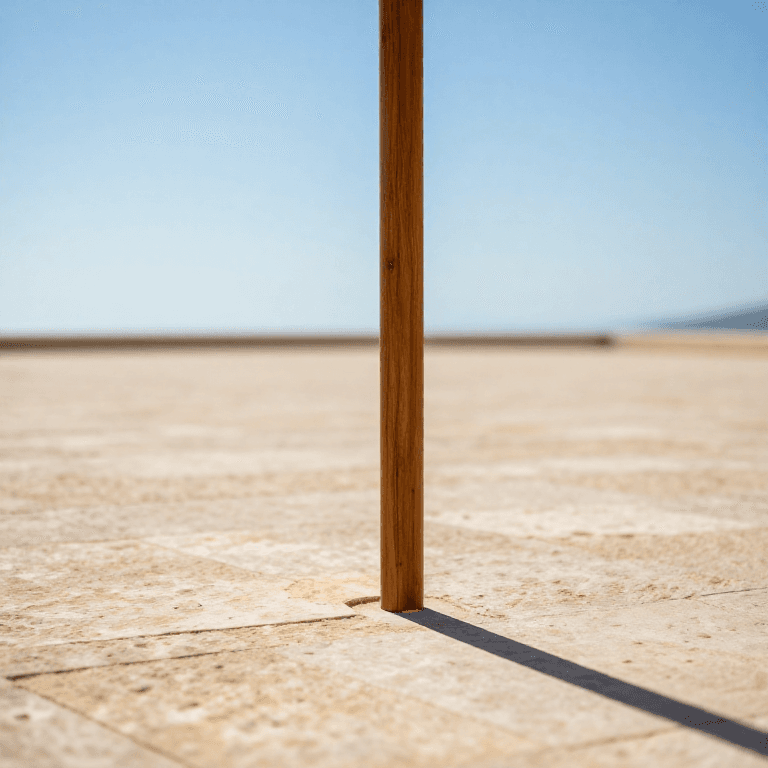
First find the height (h) of an accessible mountain or sea-cliff. Sight its summit from two points a measured distance apart on the plain and use the angles, or apply the shadow and similar-triangle method, to compute its vertical height.
必要な工具:
 木ダボ棒
木ダボ棒 綿の調理用たこ糸
3
3
Carry an angle instrument to the top
Carry an angle instrument to the top
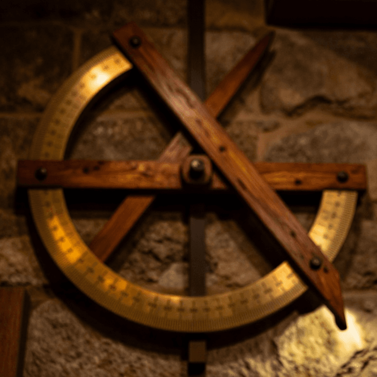
Take a quadrant or a graduated board fitted with a plumb line to the summit. It must read small angles accurately, because the dip you are about to measure is only a fraction of a degree.
必要な工具:
 堅木の板綿の調理用たこ糸
 下げ振り
下げ振り 分度器
分度器4
4
Measure the dip of the horizon
Measure the dip of the horizon
From the summit, sight the distant sea or flat horizon and measure the angle (θ) by which it lies below true horizontal, read against the plumb line. A clear day and a low, unobstructed horizon are essential.
必要な工具:
 墨つぼ(チョークライン)
5
5
Apply the formula
Apply the formula
With mountain height h and dip angle θ, the Earth's radius is R = h × cos(θ) ÷ (1 − cos(θ)). The nearer θ is measured, the better; because θ is tiny, the instrument's precision matters greatly.
6
6
See Al-Biruni's result
See Al-Biruni's result
At the fort of Nandana, in present-day Pakistan, Al-Biruni measured a dip of about 34 arc-minutes and calculated the Earth's radius as roughly 6,335 km — within about one percent of the true 6,371 km, all from one mountain and one angle.
7
7
Convert radius to circumference
Convert radius to circumference
Multiply the radius by 2π to get the circumference: 2 × 3.1416 × 6,371 ≈ 40,030 km. This agrees closely with Eratosthenes' shadow method — two completely different routes to the same size of Earth.
8
8
Appreciate why it matters
Appreciate why it matters
Al-Biruni's method needs no long baseline surveyed across country — just one mountain and a fine angle scale. When two independent methods give the same answer, it is powerful evidence that the answer is real. That is how confident science is built.
接続ブループリントの材料
関連ブループリント
これらのブループリントは知識を共有しています — 技術、材料、原理
CC0 パブリックドメイン
このブループリントはCC0で公開されています。許可を求めずに、自由にコピー、修正、配布、あらゆる目的で使用できます。
メイカーを応援するには、ブループリント経由で製品を購入してください。メイカーには メイカーコミッション がベンダーにより設定されています。または、このブループリントの新しいイテレーションを作成し、自分のブループリントにコネクションとして含めて収益を共有できます。