SANAA
UREMBO NA USTAWI
UJANJA
UTAMADUNI NA HISTORIA
BURUDANI
MAZINGIRA
CHAKULA NA VINYWAJI
UHANDISI WA KINYUME
SAYANSI
MICHEZO
TEKNOLOJIA
VAZI
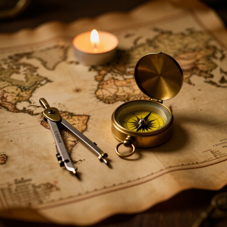


The Mercator Map — Peel an Orange and See Why Flat Maps Lie
A hands-on maths project: draw the continents on an orange, then peel it and try to flatten the peel -- discovering you cannot flatten a sphere without stretching it. That is the mapmaker's dilemma Mercator solved in 1569. A Python cell measures the famous Greenland-versus-Africa distortion, and a compendium reaches to Google Maps.
Mwanzo
30 minutes
Maagizo
1
1
You cannot flatten a ball
You cannot flatten a ball
The Earth is round but maps are flat, and there is no way to flatten a sphere without stretching or tearing it. Every flat map is a compromise. In 1569 Gerardus Mercator chose a clever one. You will feel the problem with an orange.
2
2
Map an orange
Map an orange
Draw a simple world on an orange with a marker: a squiggle for the equator, blobs for a few continents, dots for the poles. Try to keep the sizes fair.
Vifaa kwa hatua hii:
 Chungwa1 kipande
 Karatasi ngumu1 kipande
Zana zinazohitajika:
 Seti ya penseli za grafiti
3
3
Peel it and flatten it
Peel it and flatten it
Now peel the orange and try to press the peel flat on the card. It will not lie flat without cracking and tearing -- and to make the pieces meet you have to STRETCH them, especially near the poles. That stretching is exactly what a Mercator map does: to keep compass directions straight for sailors, it stretches everything more and more toward the poles.
Zana zinazohitajika:
 Mkasi
Mkasi4
4
Measure the distortion
Measure the distortion
Inapakia daftari la Jupyter…
Zana zinazohitajika:
 Kompyuta ya mezani
 Kikokotoo
5
5
Compendium: the map that shapes our world-view
Compendium: the map that shapes our world-view
What the orange teaches. (1) No flat map can keep shapes, areas AND directions all true at once -- pick two and you lose the third. (2) Mercator kept compass bearings straight (a constant heading is a straight line on his map), which made ocean navigation simple, at the cost of hugely inflating areas near the poles. (3) So Africa and South America look far smaller than they are, and northern countries far larger -- a real distortion of how we picture the world. (4) A version of it, Web Mercator, is what Google Maps and almost every online map still use today, because straight-line bearings are convenient and the maths is simple.
Vifaa
3- 1 kipandeKishikilia Nafasi
- 1 kipandeKishikilia Nafasi
- 1 karatasiKishikilia Nafasi
Blueprint zinazohusiana
Blueprint hizi zinashiriki maarifa — mbinu, vifaa au kanuni
CC0 Umma Wote
Mchoro huu umetolewa chini ya CC0. Uko huru kunakili, kubadilisha, kusambaza, na kutumia kazi hii kwa madhumuni yoyote, bila kuomba ruhusa.
Saidia Mtengenezaji kwa kununua bidhaa kupitia Mchoro wao ambapo wanapata Kamisheni ya Mtengenezaji iliyowekwa na Wachuuzi, au unda marudio mapya ya Mchoro huu na uiunganishe kama kiungo katika Mchoro wako kuchangia mapato.