예술
뷰티 및 웰니스
공예
문화 및 역사
엔터테인먼트
환경
음식 및 음료
역공학
과학
스포츠
기술
웨어러블
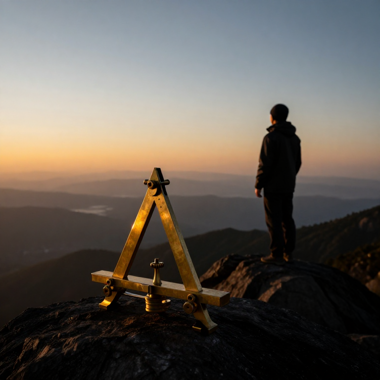
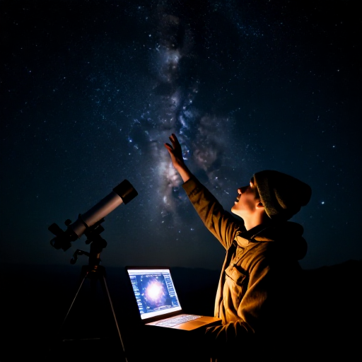

Measuring the Earth from a Single Mountain — Al-Biruni's Horizon-Dip Method
Eratosthenes measured the Earth using two cities a known distance apart. Around 1020 AD the Persian scholar Al-Biruni did it from one mountain. He knew that from a height the horizon dips slightly below true level, and that the line of sight to the horizon just grazes the curved Earth. Measure the mountain's height and that tiny dip angle, and trigonometry gives the Earth's radius — no long survey across deserts required. His answer came within about one percent of the modern value. This blueprint reproduces his elegant single-site method.
고급
30 minutes
안내
1
1
Understand the idea
Understand the idea
When you stand on high ground, the horizon sinks a little below true horizontal — the 'dip'. Your line of sight to the horizon is tangent to the curved Earth. The height you have climbed and the size of that dip together reveal how sharply the Earth curves, and so its radius.
2
2
Measure the mountain's height
Measure the mountain's height
First find the height (h) of an accessible mountain or sea-cliff. Sight its summit from two points a measured distance apart on the plain and use the angles, or apply the shadow and similar-triangle method, to compute its vertical height.
필요한 도구:
 목재 다월봉
 면 조리용 실
3
3
Carry an angle instrument to the top
Carry an angle instrument to the top
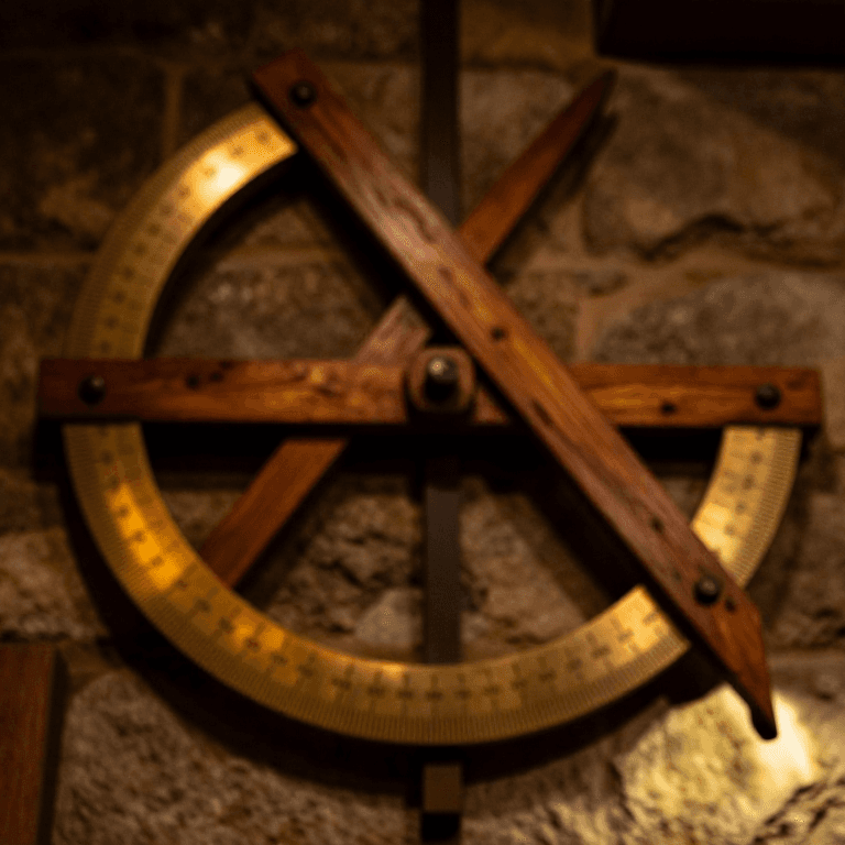
Take a quadrant or a graduated board fitted with a plumb line to the summit. It must read small angles accurately, because the dip you are about to measure is only a fraction of a degree.
필요한 도구:
 붉은오리나무 판재면 조리용 실
 다림추
다림추 각도기
각도기4
4
Measure the dip of the horizon
Measure the dip of the horizon
From the summit, sight the distant sea or flat horizon and measure the angle (θ) by which it lies below true horizontal, read against the plumb line. A clear day and a low, unobstructed horizon are essential.
필요한 도구:
 먹줄통(초크라인)
5
5
Apply the formula
Apply the formula
With mountain height h and dip angle θ, the Earth's radius is R = h × cos(θ) ÷ (1 − cos(θ)). The nearer θ is measured, the better; because θ is tiny, the instrument's precision matters greatly.
6
6
See Al-Biruni's result
See Al-Biruni's result
At the fort of Nandana, in present-day Pakistan, Al-Biruni measured a dip of about 34 arc-minutes and calculated the Earth's radius as roughly 6,335 km — within about one percent of the true 6,371 km, all from one mountain and one angle.
7
7
Convert radius to circumference
Convert radius to circumference
Multiply the radius by 2π to get the circumference: 2 × 3.1416 × 6,371 ≈ 40,030 km. This agrees closely with Eratosthenes' shadow method — two completely different routes to the same size of Earth.
8
8
Appreciate why it matters
Appreciate why it matters
Al-Biruni's method needs no long baseline surveyed across country — just one mountain and a fine angle scale. When two independent methods give the same answer, it is powerful evidence that the answer is real. That is how confident science is built.
연결된 블루프린트 재료
관련 블루프린트
이 블루프린트들은 지식을 공유합니다 — 기술, 재료 또는 원리
CC0 퍼블릭 도메인
이 블루프린트는 CC0로 공개되었습니다. 어떤 목적으로든 자유롭게 복사, 수정, 배포 및 사용할 수 있습니다.
제품 구매를 통해 메이커를 지원하세요. 판매자가 설정한 메이커 커미션 을 받거나, 이 블루프린트의 새로운 반복을 만들어 연결로 포함시킬 수 있습니다.