예술
뷰티 및 웰니스
공예
문화 및 역사
엔터테인먼트
환경
음식 및 음료
역공학
과학
스포츠
기술
웨어러블
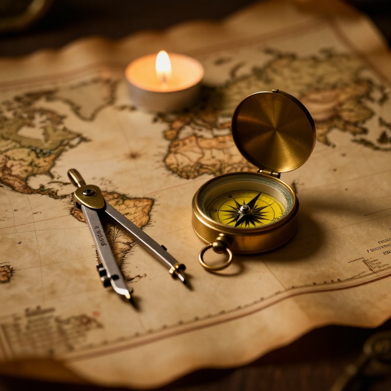


The Mercator Map — Peel an Orange and See Why Flat Maps Lie
A hands-on maths project: draw the continents on an orange, then peel it and try to flatten the peel -- discovering you cannot flatten a sphere without stretching it. That is the mapmaker's dilemma Mercator solved in 1569. A Python cell measures the famous Greenland-versus-Africa distortion, and a compendium reaches to Google Maps.
초급
30 minutes
안내
1
1
You cannot flatten a ball
You cannot flatten a ball
The Earth is round but maps are flat, and there is no way to flatten a sphere without stretching or tearing it. Every flat map is a compromise. In 1569 Gerardus Mercator chose a clever one. You will feel the problem with an orange.
2
2
Map an orange
Map an orange
Draw a simple world on an orange with a marker: a squiggle for the equator, blobs for a few continents, dots for the poles. Try to keep the sizes fair.
이 단계의 재료:
 오렌지1 개
 색상 카드지 모음1 개
필요한 도구:
 흑연 연필 세트
3
3
Peel it and flatten it
Peel it and flatten it
Now peel the orange and try to press the peel flat on the card. It will not lie flat without cracking and tearing -- and to make the pieces meet you have to STRETCH them, especially near the poles. That stretching is exactly what a Mercator map does: to keep compass directions straight for sailors, it stretches everything more and more toward the poles.
필요한 도구:
 가위
가위4
4
Measure the distortion
Measure the distortion
Jupyter 노트북 불러오는 중…
필요한 도구:
 데스크톱 컴퓨터
 계산기
계산기5
5
Compendium: the map that shapes our world-view
Compendium: the map that shapes our world-view
What the orange teaches. (1) No flat map can keep shapes, areas AND directions all true at once -- pick two and you lose the third. (2) Mercator kept compass bearings straight (a constant heading is a straight line on his map), which made ocean navigation simple, at the cost of hugely inflating areas near the poles. (3) So Africa and South America look far smaller than they are, and northern countries far larger -- a real distortion of how we picture the world. (4) A version of it, Web Mercator, is what Google Maps and almost every online map still use today, because straight-line bearings are convenient and the maths is simple.
관련 블루프린트
이 블루프린트들은 지식을 공유합니다 — 기술, 재료 또는 원리
CC0 퍼블릭 도메인
이 블루프린트는 CC0로 공개되었습니다. 어떤 목적으로든 자유롭게 복사, 수정, 배포 및 사용할 수 있습니다.
제품 구매를 통해 메이커를 지원하세요. 판매자가 설정한 메이커 커미션 을 받거나, 이 블루프린트의 새로운 반복을 만들어 연결로 포함시킬 수 있습니다.