فنون
الجمال والعناية
حِرَف
الثقافة والتاريخ
ترفيه
البيئة
الطعام والمشروبات
الهندسة العكسية
العلوم
رياضة
التقنية
الأجهزة القابلة للارتداء
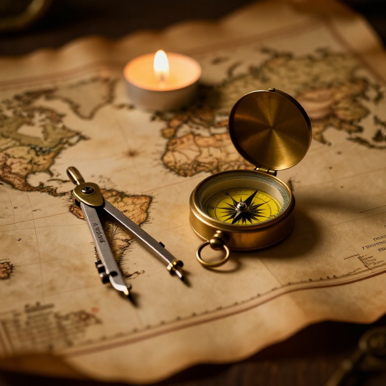


The Mercator Map — Peel an Orange and See Why Flat Maps Lie
A hands-on maths project: draw the continents on an orange, then peel it and try to flatten the peel -- discovering you cannot flatten a sphere without stretching it. That is the mapmaker's dilemma Mercator solved in 1569. A Python cell measures the famous Greenland-versus-Africa distortion, and a compendium reaches to Google Maps.
مبتدئ
30 minutes
التعليمات
1
1
You cannot flatten a ball
You cannot flatten a ball
The Earth is round but maps are flat, and there is no way to flatten a sphere without stretching or tearing it. Every flat map is a compromise. In 1569 Gerardus Mercator chose a clever one. You will feel the problem with an orange.
2
2
Map an orange
Map an orange
Draw a simple world on an orange with a marker: a squiggle for the equator, blobs for a few continents, dots for the poles. Try to keep the sizes fair.
المواد لهذه الخطوة:
 برتقال1 قطعة
 عبوة ورق مقوّى بألوان متنوعة1 قطعة
الأدوات المطلوبة:
 طقم أقلام غرافيت
3
3
Peel it and flatten it
Peel it and flatten it
Now peel the orange and try to press the peel flat on the card. It will not lie flat without cracking and tearing -- and to make the pieces meet you have to STRETCH them, especially near the poles. That stretching is exactly what a Mercator map does: to keep compass directions straight for sailors, it stretches everything more and more toward the poles.
الأدوات المطلوبة:
 مقص
مقص4
4
Measure the distortion
Measure the distortion
جارٍ تحميل دفتر Jupyter…
الأدوات المطلوبة:
 حاسوب مكتبي
 آلة حاسبة
5
5
Compendium: the map that shapes our world-view
Compendium: the map that shapes our world-view
What the orange teaches. (1) No flat map can keep shapes, areas AND directions all true at once -- pick two and you lose the third. (2) Mercator kept compass bearings straight (a constant heading is a straight line on his map), which made ocean navigation simple, at the cost of hugely inflating areas near the poles. (3) So Africa and South America look far smaller than they are, and northern countries far larger -- a real distortion of how we picture the world. (4) A version of it, Web Mercator, is what Google Maps and almost every online map still use today, because straight-line bearings are convenient and the maths is simple.
المخططات ذات الصلة
هذه المخططات تشارك المعرفة مع هذا — التقنيات والمواد والمبادئ
CC0 ملكية عامة
هذا المخطط مُصدر بموجب CC0. يحق لك نسخه وتعديله وتوزيعه واستخدامه لأي غرض، دون طلب إذن.
ادعم الصانع بشراء منتجات عبر مخططه حيث يكسب عمولة الصانع يحددها البائعون، أو أنشئ نسخة جديدة من هذا المخطط وضمّنه كرابط في مخططك لمشاركة الإيرادات.