

Field Walking Survey
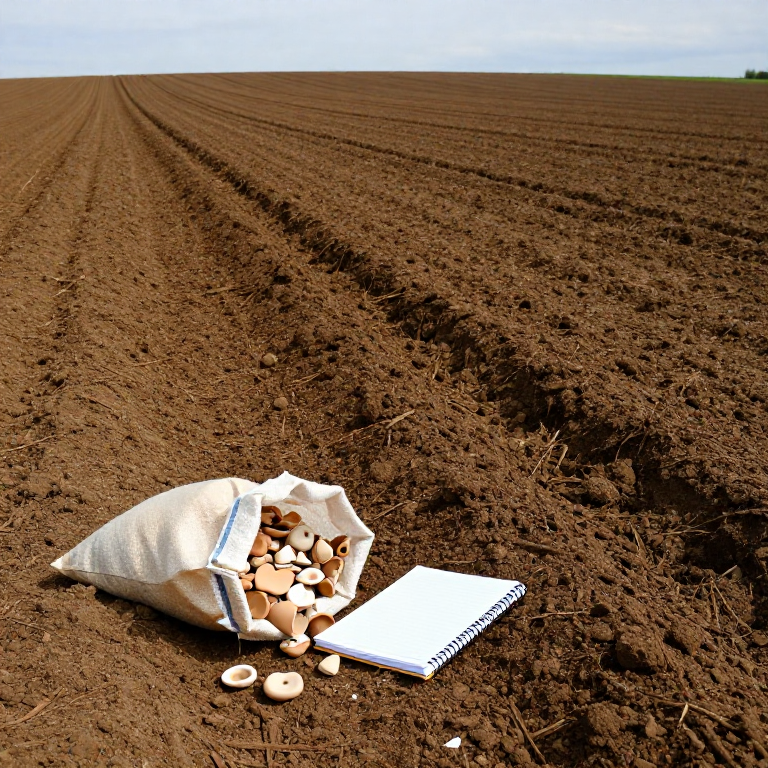
Excavation digs one hole very carefully. Field walking covers a whole landscape without digging at all — you walk ploughed ground in lines, pick up what the plough has brought to the surface, and record where each thing came from.
The plough is doing the excavating. Every pass drags material up from buried deposits and scatters it, so a concentration of pottery in one part of a field is the shadow of something underneath it.
What you count is not finds, it is finds per unit area under stated conditions. A sunny day after rain on freshly ploughed soil yields several times what the same field gives in stubble — so recording the conditions is as important as recording the finds, and a survey that omits them cannot be compared with anything.
Instructions
Get permission in writing first
Get permission in writing first
Ask the landowner and get written permission before entering any field. In many countries removing archaeological material without permission is an offence, and in some, finds must be reported to a national scheme. Check your local law before you pick anything up.
Choose a field in the right condition
Choose a field in the right condition
Pick ploughed ground that has been rained on and left to weather for a few weeks. Rain washes soil off finds so they show; fresh plough hides them under clods.
Fix the survey grid to real coordinates
Fix the survey grid to real coordinates
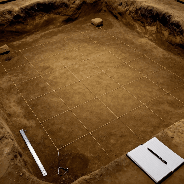
Lay out collection units — 20 m squares or 20 m transect lengths — and record their corners with GPS. A survey grid that cannot be relocated next year records nothing durable.
Tools needed:
 Measuring Ruler
Space the walkers evenly
Space the walkers evenly
Put walkers in a line at a fixed spacing — 10 m or 15 m apart, decided in advance. Every walker searches a strip either side of their own line and nothing else.
Write the conditions down before starting
Write the conditions down before starting
Record date, weather, light, ground condition, time since ploughing, crop cover and walker spacing. These are the variables that decide your recovery rate, and without them your counts cannot be compared with another field or another day.
Tools needed:
 Record-Keeping Notebook
Walk at a steady, slow pace
Walk at a steady, slow pace
Walk your line steadily, scanning the ground a few metres ahead. Speed is a variable too — a fast walker finds less, so keep the pace consistent between units and between people.
Bag by collection unit, never by find
Bag by collection unit, never by find
Everything picked up in one unit goes in one bag labelled with that unit. A find with no unit is worthless data — the whole method is about where things are, not what they are.
Collect everything, not the pretty things
Collect everything, not the pretty things
Pick up all worked material — plain body sherds, burnt stone, brick, slag — not just decorated pieces. Selecting attractive finds is the fastest way to produce a distribution map of your own taste.
Walk one unit twice as a control
Walk one unit twice as a control
Send a second walker over one already-walked unit and count what they find. That second pass measures your recovery rate — and it is usually far lower than people expect.
Wash and sort by material
Wash and sort by material
Wash the finds unit by unit, keeping bags separate, and sort into pottery, tile, flint, metal and stone. Never merge two units' bags to save time.
Count and weigh each material per unit
Count and weigh each material per unit
Record count and weight for each material class in each unit. Weight matters because one smashed pot gives many sherds and inflates a count that weight keeps honest.
Tools needed:
 Digital Scale
Plot density, not finds
Plot density, not finds
Shade a plan of the field by finds per unit area. Concentrations appear as patches — and it is the pattern that is the result, not any individual object.
Ask what else could explain the patch
Ask what else could explain the patch
Before calling a concentration a site, ask: is that corner where manure was spread? Where the plough turns? Where the field is wettest? Manuring scatter from a farm can look exactly like a settlement, and telling them apart is the hardest judgement in the method.
Report the finds properly
Report the finds properly
Report through your national or regional recording scheme and offer the archive to the local museum. A survey nobody can consult later is a landscape you have quietly used up.
Compendium — what field walking can and cannot show
Compendium — what field walking can and cannot show
Cheap, wide, shallow. Excavation gives deep information about a tiny area; field walking gives shallow information about a large one. Used together, a survey finds the places worth excavating and provides the context that a single trench cannot. Neither replaces the other.
The plough is the excavator — and the destroyer. Ploughsoil material is by definition out of stratigraphic context: it has been dragged, broken and moved. That is a real loss. But it also means the material is already disturbed, so collecting it destroys nothing further — which is why field walking is the least invasive form of archaeology there is.
Visibility is the dominant variable. Recovery depends on light, weather, soil colour, crop cover, time since ploughing, walker spacing and walker attention. Two surveys of the same field in different conditions can differ several-fold. This is why the conditions record is not paperwork — it is the calibration.
Absence is weak evidence. A blank field can mean no site, or a site under pasture that was never ploughed, or a site too deep for the plough to reach, or a site made of materials that do not survive. "We found nothing" is a statement about the survey at least as much as about the ground.
The manuring problem. Pre-modern farms carted domestic rubbish onto their fields as fertiliser, spreading broken pottery across the landscape. That produces a low, even background scatter that is real evidence — of manuring practice and field systems — but is not a settlement. Distinguishing a manuring scatter from an occupation site is the standard interpretive argument of survey archaeology, and it is settled by density, by the mix of material and by period, never by a single find.
Tools Required
3- Placeholder
- Placeholder
- Placeholder
Related Blueprints
These blueprints share knowledge with this one — techniques, materials, or principles that connect them in the learning graph.
CC0 Public Domain
This blueprint is released under CC0. You are free to copy, modify, distribute, and use this work for any purpose, without asking permission.
Support the Maker by purchasing products through their Blueprint where they earn a Maker Commission set by Vendors, or create a new iteration of this Blueprint and include it as a connection in your own Blueprint to share revenue.