SANAA
UREMBO NA USTAWI
UJANJA
UTAMADUNI NA HISTORIA
BURUDANI
MAZINGIRA
CHAKULA NA VINYWAJI
UHANDISI WA KINYUME
SAYANSI
MICHEZO
TEKNOLOJIA
VAZI
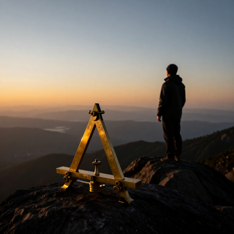
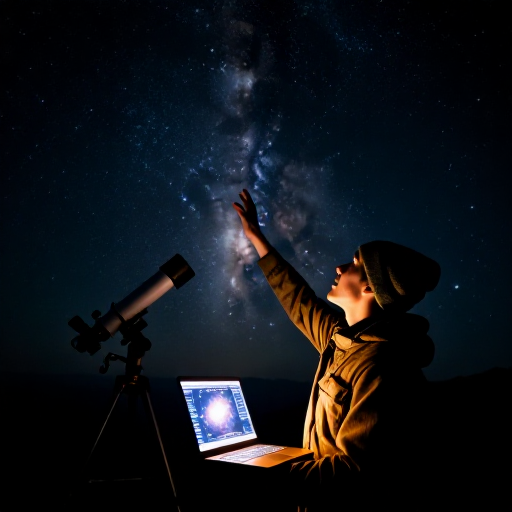

Measuring the Earth from a Single Mountain — Al-Biruni's Horizon-Dip Method
Eratosthenes measured the Earth using two cities a known distance apart. Around 1020 AD the Persian scholar Al-Biruni did it from one mountain. He knew that from a height the horizon dips slightly below true level, and that the line of sight to the horizon just grazes the curved Earth. Measure the mountain's height and that tiny dip angle, and trigonometry gives the Earth's radius — no long survey across deserts required. His answer came within about one percent of the modern value. This blueprint reproduces his elegant single-site method.
Juu
30 minutes
Maagizo
1
1
Understand the idea
Understand the idea
When you stand on high ground, the horizon sinks a little below true horizontal — the 'dip'. Your line of sight to the horizon is tangent to the curved Earth. The height you have climbed and the size of that dip together reveal how sharply the Earth curves, and so its radius.
2
2
Measure the mountain's height
Measure the mountain's height
First find the height (h) of an accessible mountain or sea-cliff. Sight its summit from two points a measured distance apart on the plain and use the angles, or apply the shadow and similar-triangle method, to compute its vertical height.
Zana zinazohitajika:
 Kijiti cha mbao (dauli)
 Uzi wa Pamba wa Jikoni
3
3
Carry an angle instrument to the top
Carry an angle instrument to the top
Take a quadrant or a graduated board fitted with a plumb line to the summit. It must read small angles accurately, because the dip you are about to measure is only a fraction of a degree.
Zana zinazohitajika:
 Ubao wa Mti MgumuUzi wa Pamba wa Jikoni
 Timazi
 Kipima-pembe
4
4
Measure the dip of the horizon
Measure the dip of the horizon
From the summit, sight the distant sea or flat horizon and measure the angle (θ) by which it lies below true horizontal, read against the plumb line. A clear day and a low, unobstructed horizon are essential.
Zana zinazohitajika:
 Kamba ya kupiga mstari
5
5
Apply the formula
Apply the formula
With mountain height h and dip angle θ, the Earth's radius is R = h × cos(θ) ÷ (1 − cos(θ)). The nearer θ is measured, the better; because θ is tiny, the instrument's precision matters greatly.
6
6
See Al-Biruni's result
See Al-Biruni's result
At the fort of Nandana, in present-day Pakistan, Al-Biruni measured a dip of about 34 arc-minutes and calculated the Earth's radius as roughly 6,335 km — within about one percent of the true 6,371 km, all from one mountain and one angle.
7
7
Convert radius to circumference
Convert radius to circumference
Multiply the radius by 2π to get the circumference: 2 × 3.1416 × 6,371 ≈ 40,030 km. This agrees closely with Eratosthenes' shadow method — two completely different routes to the same size of Earth.
8
8
Appreciate why it matters
Appreciate why it matters
Al-Biruni's method needs no long baseline surveyed across country — just one mountain and a fine angle scale. When two independent methods give the same answer, it is powerful evidence that the answer is real. That is how confident science is built.
Zana Zinazohitajika
6- Kishikilia Nafasi
- Kishikilia Nafasi
- Kishikilia Nafasi
- Kishikilia Nafasi
- Kishikilia Nafasi
- Kishikilia Nafasi
Vifaa vya Michoro Iliyounganishwa
Blueprint zinazohusiana
Blueprint hizi zinashiriki maarifa — mbinu, vifaa au kanuni
CC0 Umma Wote
Mchoro huu umetolewa chini ya CC0. Uko huru kunakili, kubadilisha, kusambaza, na kutumia kazi hii kwa madhumuni yoyote, bila kuomba ruhusa.
Saidia Mtengenezaji kwa kununua bidhaa kupitia Mchoro wao ambapo wanapata Kamisheni ya Mtengenezaji iliyowekwa na Wachuuzi, au unda marudio mapya ya Mchoro huu na uiunganishe kama kiungo katika Mchoro wako kuchangia mapato.