ARTE
BELEZA E BEM-ESTAR
ARTESANATO
CULTURA E HISTÓRIA
ENTRETENIMENTO
MEIO AMBIENTE
COMIDA E BEBIDAS
ENGENHARIA REVERSA
CIÊNCIAS
ESPORTES
TECNOLOGIA
TECNOLOGIA VESTÍVEL

Measuring the Earth from a Single Mountain — Al-Biruni's Horizon-Dip Method
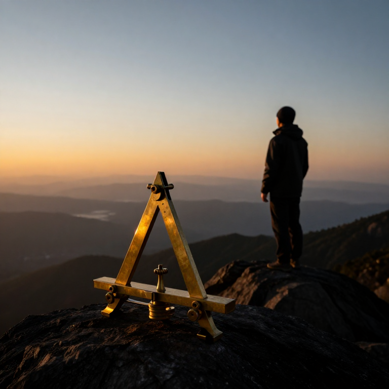
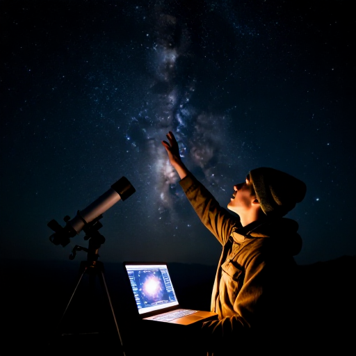
Eratosthenes measured the Earth using two cities a known distance apart. Around 1020 AD the Persian scholar Al-Biruni did it from one mountain. He knew that from a height the horizon dips slightly below true level, and that the line of sight to the horizon just grazes the curved Earth. Measure the mountain's height and that tiny dip angle, and trigonometry gives the Earth's radius — no long survey across deserts required. His answer came within about one percent of the modern value. This blueprint reproduces his elegant single-site method.
Avançado
30 minutes
Instruções
1
1
Understand the idea
Understand the idea
When you stand on high ground, the horizon sinks a little below true horizontal — the 'dip'. Your line of sight to the horizon is tangent to the curved Earth. The height you have climbed and the size of that dip together reveal how sharply the Earth curves, and so its radius.
2
2
Measure the mountain's height
Measure the mountain's height
First find the height (h) of an accessible mountain or sea-cliff. Sight its summit from two points a measured distance apart on the plain and use the angles, or apply the shadow and similar-triangle method, to compute its vertical height.
Ferramentas necessárias:
 Vareta de madeira (cavilha)
 Fio de algodão para cozinha
3
3
Carry an angle instrument to the top
Carry an angle instrument to the top
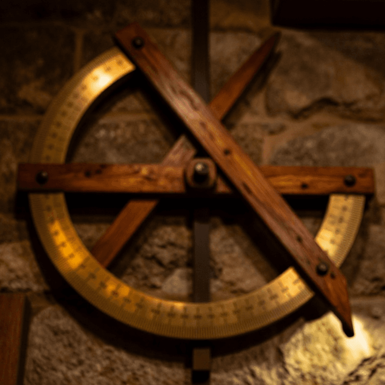
Take a quadrant or a graduated board fitted with a plumb line to the summit. It must read small angles accurately, because the dip you are about to measure is only a fraction of a degree.
Ferramentas necessárias:
 Tábua de amieiro vermelhoFio de algodão para cozinha
 Fio de prumo
 Transferidor
4
4
Measure the dip of the horizon
Measure the dip of the horizon
From the summit, sight the distant sea or flat horizon and measure the angle (θ) by which it lies below true horizontal, read against the plumb line. A clear day and a low, unobstructed horizon are essential.
Ferramentas necessárias:
 Cordão de marcar
5
5
Apply the formula
Apply the formula
With mountain height h and dip angle θ, the Earth's radius is R = h × cos(θ) ÷ (1 − cos(θ)). The nearer θ is measured, the better; because θ is tiny, the instrument's precision matters greatly.
6
6
See Al-Biruni's result
See Al-Biruni's result
At the fort of Nandana, in present-day Pakistan, Al-Biruni measured a dip of about 34 arc-minutes and calculated the Earth's radius as roughly 6,335 km — within about one percent of the true 6,371 km, all from one mountain and one angle.
7
7
Convert radius to circumference
Convert radius to circumference
Multiply the radius by 2π to get the circumference: 2 × 3.1416 × 6,371 ≈ 40,030 km. This agrees closely with Eratosthenes' shadow method — two completely different routes to the same size of Earth.
8
8
Appreciate why it matters
Appreciate why it matters
Al-Biruni's method needs no long baseline surveyed across country — just one mountain and a fine angle scale. When two independent methods give the same answer, it is powerful evidence that the answer is real. That is how confident science is built.
Ferramentas necessárias
6- Referência
- Referência
- Referência
- Referência
- Referência
- Referência
Materiais de Blueprints conectados
Blueprints relacionados
Estes blueprints compartilham conhecimento — técnicas, materiais ou princípios
CC0 Domínio Público
Este blueprint é liberado sob CC0. Você é livre para copiar, modificar, distribuir e usar este trabalho para qualquer finalidade, sem pedir permissão.
Apoie o Maker comprando produtos através do Blueprint, onde ele ganha uma Comissão Maker definida pelos vendedores, ou crie uma nova versão deste Blueprint e inclua-o como conexão no seu próprio Blueprint para compartilhar receita.